 Heavy rains throughout South America this year brought destruction, and the Quilotoa region of Ecuador was no exception. Rock slides were common and roads crumbled leaving huge gaps and treacherous conditions for unsuspecting motorists. The locals seemed to take this in stride maneuvering deftly around obstacles and barely marked missing roadway. Hiking trails, as I had learned all too well were affected too, but most remained intact.
After my adventure the previous day I was looking forward to a scenic, peaceful four hour hike from Chugchilan to a highly recommended hostal in Isinlivi. I booked a room for the night.
I was hoping Faye would join me: perhaps it was the dog bite she had gotten, or
our “bridge” crossing, or walking on “the goat path” the previous day that dampened her enthusiasm. She left on a bus back to Latacunga after breakfast.
I went over a map of my intended hike to Isinlivi thoroughly, speaking to a guide in Chugchilan for further confirmation, and was assured it was a well marked, safe trail.
I set off alone with the sturdy stick I acquired the day before-other hikers that day were doing the loop in the opposite direction. I followed the road out of Chugchilan reaching a footpath heading down to the river. A local man confirmed the way. (The path wasn’t quite as clearly marked as I had hoped.) One wrong turn brought me to the hut of an old Kichwa woman who spoke only Kichwa. I gathered she was none too pleased by my trespassing. I expressed my apologies in Spanish and quickly retraced my steps to the proper path.
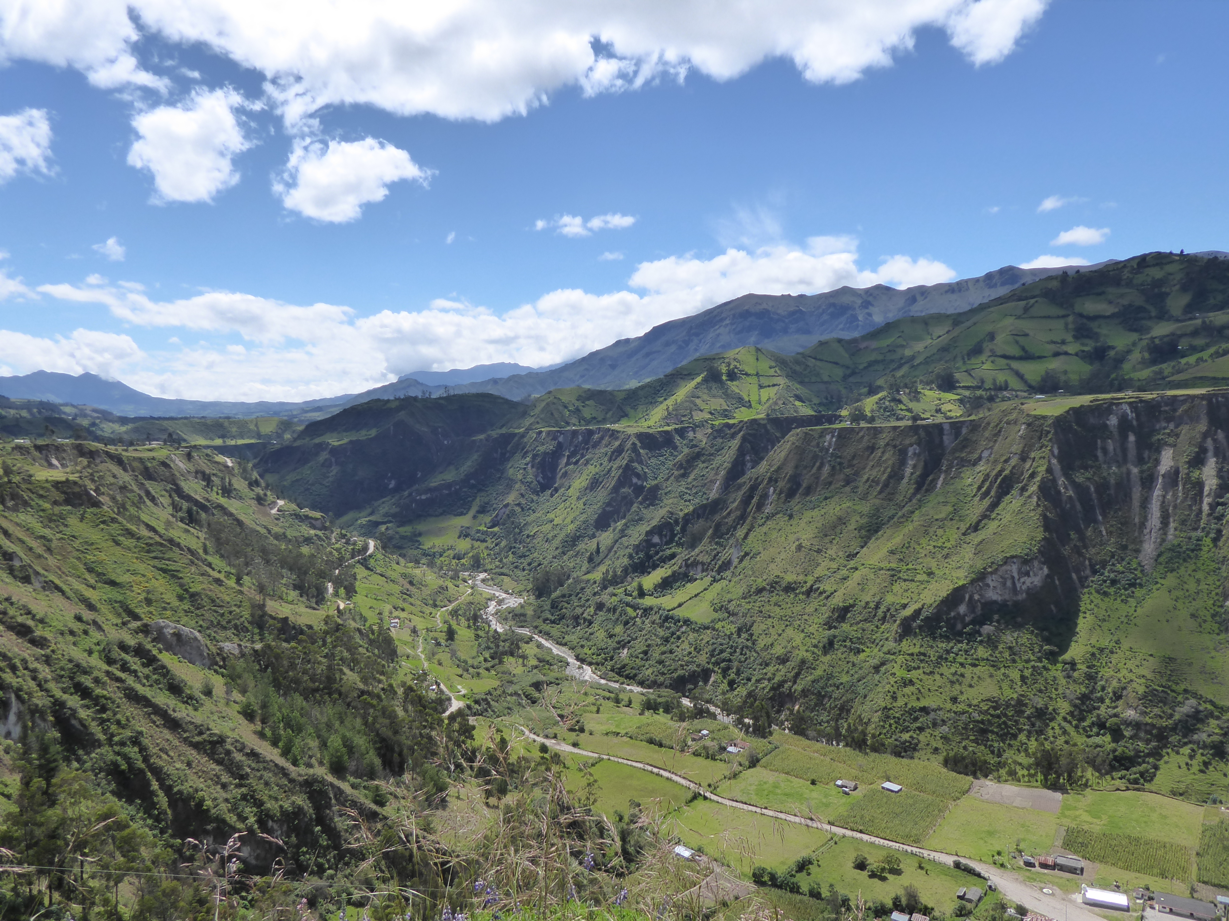
The map came with a description of the hike and mentioned a sandy, steep decline. The beginning was easy enough-I thought this isn’t bad at all-until the drop was almost vertical. But the path, unlike yesterday’s, would perhaps yield a scrapped knee or dirty derrière-not an end of life. I used my walking stick with every step. Finally, reaching the bottom, I was glad I was not returning the same way.
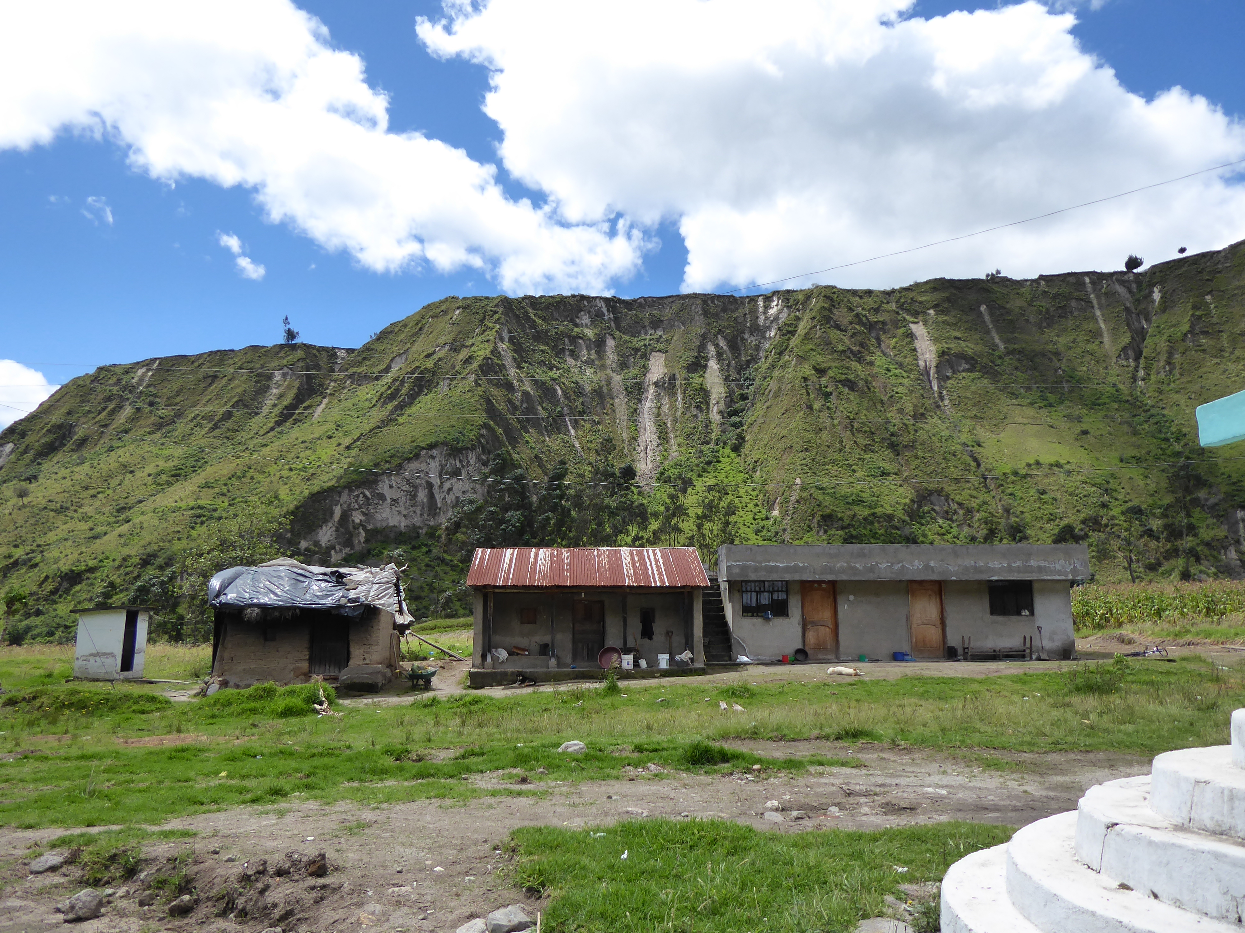
In the valley was a tiny village with church and school. I stayed awhile watching the children, some were talking with one another, some were playing-boys invariably play futbol(soccer), girl’s seem to engage in less active recreation. I was greeted with “hola.”

The directions mentioned two river crossings: a suspension footbridge no longer in use-it was too dangerous-and the second, sturdier bridge a bit further down. I arrived at the first bridge and noticed its compromised state-many planks were missing.
Confident that I was well on my way to the second bridge and Isinlivi, I walked on. Four young blonde women came towards me.
They had just been walking along a small meadow, finding it strange that water was soon up to their ankles. Then they heard a roar and the side of a hill opened up gushing with mud. Wet earth came spilling down, sweeping everything up in its path. Locals were yelling for them to run and guided them to safety. A cow was killed in minutes. Fortunately there were no other known casualties. The good bridge was wiped out.
I missed the mudslide-and the crossing of the river-by minutes.
The young women were shaken. We chatted a bit then they walked on. Their legs were muddy up to their knees.
It took me a minute to register the events. The good bridge was gone?? How would I be getting to Isinliví?
I decided to investigate my options and walked the short distance to the mudslide area assured by the presence of lingering locals. They were busy cutting up, and cleaning the entrails, of the freshly killed cow.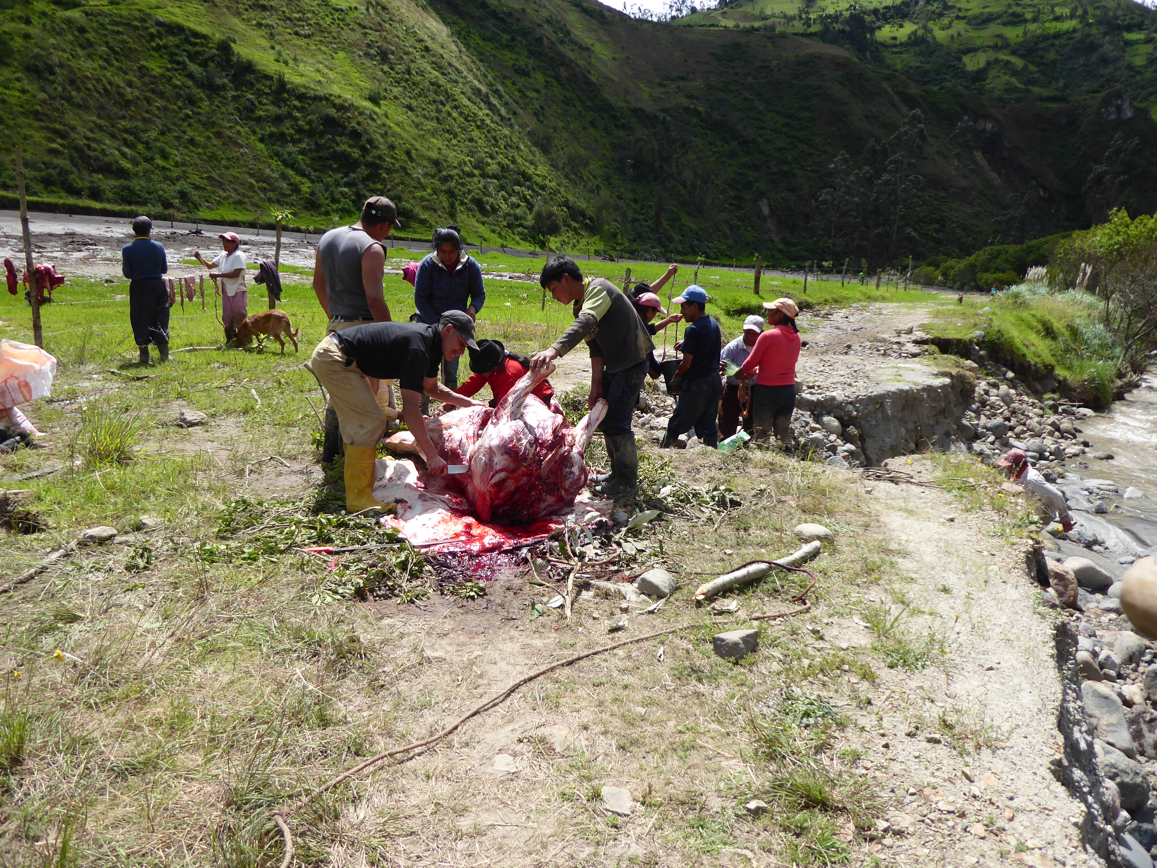 I asked them about getting to Isinlivi. A few told me, “There is no way to get there now.” One local suggested I use the old/unsafe bridge then bushwhack along the river until I joined the proper path. However, the previous day’s hike was enough to satisfy any desire for precarious paths and bridges.
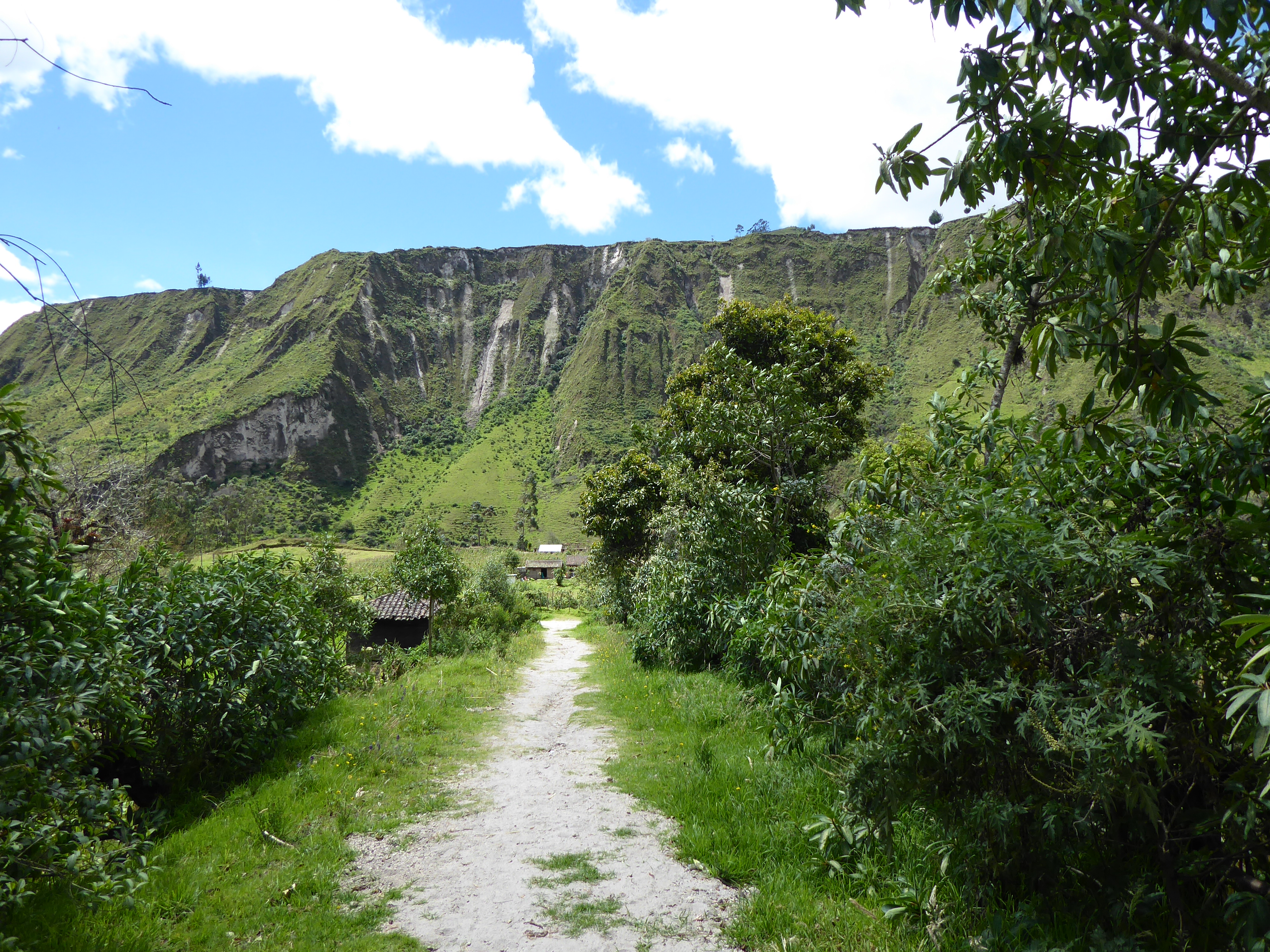
The only option was to return to Chugchilan. I did not look forward to ascending the steep path I had come down. There was a different route by road, but it was much longer and there was, according to the locals, no chance of encountering any vehicles.
I stopped again at the small, now vacant, village, this time to muster strength for the climb. Back down by the river, near the mudslide, retained a threatening air. I thought it best not to stay too close. The locals showed no concern.
The 750 meter(2460 feet) climb was arduous and slow going. Once again my walking stick was indispensable. About midway a man carrying a machete passed me on his way down offering me encouragement. “You’re almost there.” He said with a big smile. I appreciated his kindness and forged on. My trek was for many locals their usual route.
Once I reached the main road I hitched a ride in the back of a pickup truck. It wasn’t a far walk, but it was uphill and I was tired.
Back at the hostal news of the mudslide was on most people’s lips. Strategies were discussed for hiking out to Isinlivi the following day. Many were certain they could get there using the old bridge and bushwhacking or hoping the mud had settled enough to walk on near the new bridge.
I was invited to hike with them, but declined.
I had already decided I’d be heading to the coast for some relaxation.